
All Products › MicroHSI 425 Shark Hyperspectral Imager
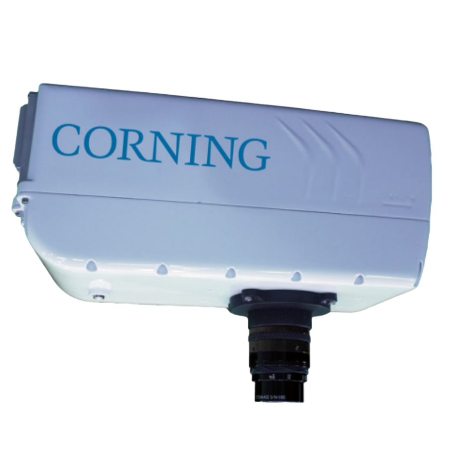
MicroHSI 425 Shark Hyperspectral Imager
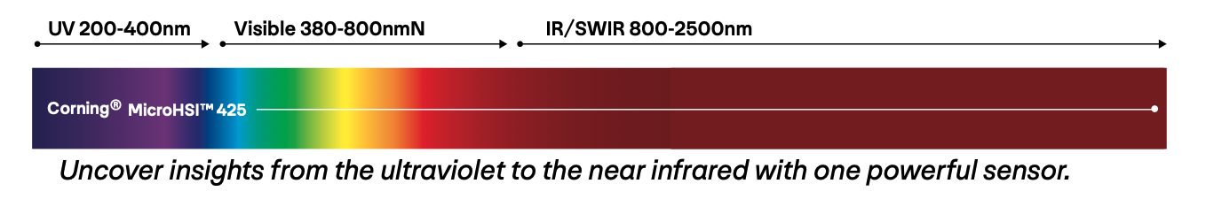
The Corning® microHSI™ 425 SHARK is the first commercially available hyperspectral imaging system to cover the full 400–2,500 nm spectral range using a single optical path and sensor. Engineered for airborne, industrial, and scientific missions, this lightweight and rugged solution delivers high-resolution spectral data with unmatched efficiency.
With 468 spectral bands and flexible collection modes, users can capture complete hyperspectral cubes or select specific bands for tailored data products—reducing memory use and post-processing time. Ideal for precision agriculture, gas detection, mining, healthcare, and industrial inspection, the SHARK is built to withstand demanding environments while delivering mission-critical insights.
Specifications:
Full-range hyperspectral imaging from 400–2,500 nm (UV–NIR–SWIR)
Single-sensor design eliminates dual-system alignment challenges
Ultra-compact 7 lb airborne-ready form factor
Flexible band selection to optimize memory and speed up workflows
Ruggedized for real-world field and industrial conditions
Built-in navigation and 1 TB storage with onboard processing
Up to 125 Hz frame rate, 16-bit dynamic range, and ≤8 nm spectral resolution

Its compact, lightweight design and real-time snapshot imaging make it perfect for drone-based aerial mapping and remote sensing, delivering precise data on vegetation health, water quality, and land surface conditions.
Aerial Mapping & Precision Agriculture

Its compact design and real-time hyperspectral imaging make it ideal for gas detection and emissions monitoring, enabling rapid, contact-free identification of leaks, volatile compounds, and atmospheric pollutants in industrial and environmental applications.
Gas Detection

Its compact design and real-time hyperspectral imaging make it ideal for factory inspection and food quality monitoring, enabling rapid, contact-free analysis of freshness, contaminants, and product consistency.
Inspection for Food & Manufacturing
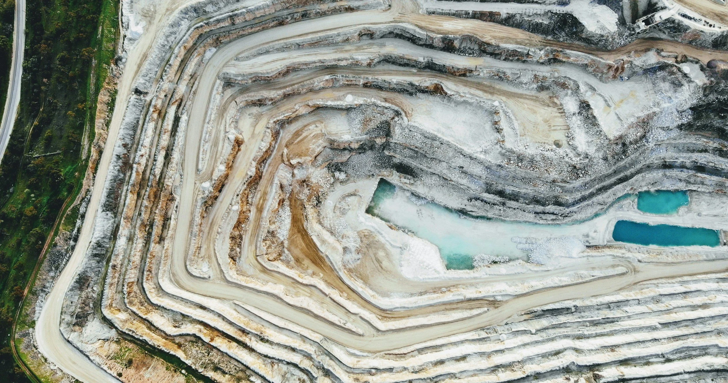
Its rugged design and real-time hyperspectral imaging make it ideal for mining and mineral exploration, enabling rapid, non-contact identification of mineral composition, ore grades, and surface alterations for efficient resource mapping and extraction planning.
Mining & Mineral Exploration
Intelligent Airborne Hyperspectral Mapping
This airborne hyperspectral imaging system captures either the full 468-band data cube or only selected bands for targeted data products and analytics. Pre-flight digital elevation model (DEM) downloads improve orthorectification and geolocation accuracy. Optimized flight planning reduces storage demands and post-processing time. The compact, fully integrated kit combines spectrograph, camera, telescope, navigation system, onboard computer, and 1 TB of storage into a lightweight platform for precise hyperspectral mapping and geospatial intelligence applications.