

All Products › MicroHSI 410 Shark/Sensor
This Selectable Hyperspectral Airborne Remote Sensing Kit (SHARK) is an integrated coherent hyperspectral imaging (HSI) sensor system designed specifically for integration with highly compact unmanned aerial vehicles (UAVs) and cost efficient drones.
This complete turn-key sensor system solution includes a 400-1,000 nm HSI sensor and a high-efficiency microprocessor control and data-acquisition subsystem with solid-state data storage. The microHSI™ 410 spectrometer features a high-efficiency reflective and optimally blazed diffraction grating that helps enable optimized throughput and signal-to-noise ratio (SNR) performance combined with exceptional spectral fidelity and spatial resolution.
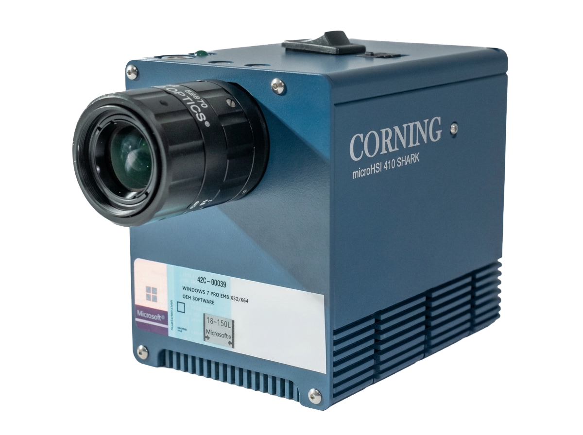
MicroHSI 410 Shark/Sensor Hyperspectral Imager
Specifications:
Full-range hyperspectral imaging from 400–1,000 nm (visible–NIR)
Ultra-compact 1.6 lb UAV-ready form factor for low SWaP-C deployment
Fully integrated airborne system with onboard processor, storage, and INS (GPS + IMU)
High-efficiency reflective spectrograph with blazed grating for strong SNR and spectral fidelity
Flexible spectral binning (2 nm native, ~8 nm typical) to optimize data rate and performance
Wide 28.6° field of view with 1364 spatial pixels for high-resolution mapping
Up to >400 Hz frame rate, 12-bit dynamic range, and high-throughput data acquisition
Rugged, low-power (<19 W) design optimized for commercial remote sensing missions

Its compact, lightweight design and real-time snapshot imaging make it perfect for drone-based aerial mapping and remote sensing, delivering precise data on vegetation health, water quality, and land surface conditions.
Aerial Mapping & Precision Agriculture

Its compact design and real-time hyperspectral imaging make it ideal for factory inspection and food quality monitoring, enabling rapid, contact-free analysis of freshness, contaminants, and product consistency.
Inspection for Food & Manufacturing

Its rugged design and real-time hyperspectral imaging make it ideal for mining and mineral exploration, enabling rapid, non-contact identification of mineral composition, ore grades, and surface alterations for efficient resource mapping and extraction planning.
Mining & Mineral Exploration

Its compact design and real-time hyperspectral imaging make it ideal for gas detection and emissions monitoring, enabling rapid, contact-free identification of leaks, volatile compounds, and atmospheric pollutants in industrial and environmental applications.
Gas Detection
Intelligent Airborne Hyperspectral Mapping
This ultra-compact airborne hyperspectral imaging system captures high-fidelity data across the 400–1,000 nm range with flexible spectral binning to balance resolution and data throughput. Optimized for UAV integration, it combines a high-efficiency reflective spectrograph, CMOS detector, onboard processor, solid-state storage, and integrated navigation system (GPS + MEMS IMU with Kalman filtering) into a single lightweight platform. Wide field-of-view optics and high spatial sampling enable precise mapping and feature detection, while onboard data handling and 12-bit processing reduce storage burden and streamline workflows. Designed for low SWaP-C deployment, the system delivers high frame rates (>400 Hz) and robust performance for commercial remote sensing, agriculture, and industrial geospatial intelligence applications.